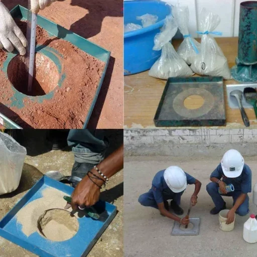
A tracked mini-excavator breaks ground off Magruder Boulevard, its narrow 24-inch bucket slicing through Hampton's stratified coastal plain deposits. The exploratory test pit unfolds section by section, revealing tan sands, mottled silts, and occasional shell fragments that mark the geologic boundary between the Yorktown Formation and younger Quaternary sediments. Hampton's landscape, carved by the ancestral James River and perched at just 10 feet above mean sea level near its tidal tributaries, poses distinct stratigraphic challenges for any foundation design. Direct visual examination via test pit investigation eliminates the ambiguity of indirect methods. When a test pits program requires tactile confirmation of bedding planes, groundwater seepage, or fill thickness beneath former marshland, the excavator operator and geotechnical engineer work side by side, documenting each lift with ASTM D2487 field classifications and photography before the tide potentially obscures the observation.
Direct visual logging of a 12-foot Hampton test pit face captures stratigraphic transitions that even closely spaced SPT borings routinely miss.