GEOTECHNICAL ENGINEERING
HAMPTON VIRGINIA
HomeGeophysicsMASW / VS30 (shear wave velocity)

MASW and VS30 Shear Wave Velocity Testing in Hampton Virginia

Rigorous testing. Clear reporting.

LEARN MORE

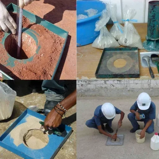
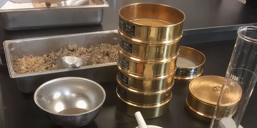
A 24-channel seismograph sits on the shoulder of Magruder Boulevard, cabled to a string of 4.5 Hz geophones stretched 115 meters across a future building pad. The sledgehammer strikes an aluminum plate, and surface waves ripple through the Coastal Plain sediments beneath Hampton. That is an MASW survey in progress—capturing the dispersion curve that will yield Vs30, the time-averaged shear wave velocity in the upper 30 meters. The Virginia Department of Environmental Quality classifies much of this area as having unconsolidated Quaternary deposits over the Yorktown Formation, and the impedance contrasts between these layers directly shape seismic site response. Our crew runs both active-source and passive-microtremor arrays here because the low-frequency content needed for a reliable Vs30 often requires ambient noise recorded over 20 minutes or more. The output feeds directly into the IBC site class table, determining whether the profile lands in C, D, or the borderline E zone that triggers additional liquefaction screening under seismic microzonation protocols for the Hampton Roads region.

A Vs30 below 183 m/s in Hampton triggers site class E per ASCE 7, and we have measured values as low as 155 m/s in paleochannel deposits near the Back River.

Our service areas

Our approach and scope

The humidity that rolls off the Chesapeake Bay and the James River does more than just corrode exposed metal—it saturates the upper few meters of the regolith and can dampen high-frequency Rayleigh wave propagation if the array is set up too soon after a heavy rain. Hampton sits on a low-gradient peninsula where the water table sometimes rises to within 60 cm of the surface in the Sedgefield and Wythe neighborhoods. That shallow groundwater changes the Poisson ratio of the near-surface silty sands, which in turn affects the inversion of the fundamental-mode dispersion curve. We account for this by pairing our MASW profiles with borehole data from SPT drilling whenever the site stratigraphy suggests a velocity reversal—a soft clay lens beneath stiffer sand, for instance—because such inversions can fool a purely surface-wave interpretation. Our processing workflow runs through two independent inversion algorithms to check consistency, and the final Vs30 is reported with a coefficient of variation typically below 8 percent across the measurement spread.
MASW and VS30 Shear Wave Velocity Testing in Hampton Virginia
Technical reference — Hampton Virginia

Site-specific factors

One thing we have learned working the Hampton side of the harbor: a site class D designation from a desk-study proxy can mask a site class E condition once the MASW numbers come back. The difference matters. ASCE 7-22 amplifies the design spectral response for class E profiles, and an owner who budgeted for a class C or D foundation may suddenly face a 30 percent jump in seismic base shear. That has happened on projects near the Back River, where buried paleochannels filled with organic silt produced Vs30 values in the 160 to 180 m/s range—below the 183 m/s threshold. The practical fix is not to guess. Run the line, collect the passive data, process the dispersion image, and submit the report with the mapped shot points so the geotechnical engineer can correlate the velocity profile with the boring logs. Without that, the structural engineer is working with conservative assumptions that can add unnecessary cost to the lateral system.

Need a geotechnical assessment?

Reply within 24h.

Email: [email protected]

Watch the video

Regulatory framework

ASCE 7-22 Minimum Design Loads and Associated Criteria for Buildings and Other Structures, IBC 2021 Section 1613 Earthquake Loads — Site Classification, ASTM D7400 Standard Test Methods for Downhole Seismic Testing (reference for Vs correlation), FHWA-NHI-16-072 Geotechnical Site Characterization (MASW methodology guidance)

Reference parameters

ParameterTypical value
Geophone array length46 to 115 m (24-channel)
Geophone frequency4.5 Hz vertical component
Active source10 kg sledgehammer on aluminum plate
Passive recording20 to 30 min ambient noise (SPAC/MHVSR)
Vs30 reporting standardASCE 7-22 Section 20.4
Site class range observedC (360 m/s) to E (155 m/s)
Typical investigation depth30 to 40 m below grade
Data processingDual-algorithm dispersion inversion

Common questions

What does an MASW survey in Hampton Virginia typically cost?

For a combined active and passive MASW survey with a single array line and Vs30 classification report in Hampton, the range is US$1,770 to US$2,700. The final figure depends on array length, number of lines, site accessibility, and whether passive recording with SPAC or ReMi processing is required to reach the 30-meter depth target.

How long does it take to get the Vs30 report after the field work?

Field acquisition for one MASW line with active and passive components typically takes half a day. Data processing, dispersion analysis, inversion, and report preparation require five to seven business days. Rush turnaround can be arranged for an additional fee when project schedules demand it.

Does the IBC require MASW or can Vs30 be estimated from SPT data?

The IBC allows Vs30 estimation from SPT N-values using published correlations, but the uncertainty is high in Hampton's interbedded Coastal Plain sediments. A direct MASW measurement reduces the coefficient of variation on Vs30 to under 10 percent, whereas correlation-based estimates can swing site class by a full letter. For Risk Category III and IV structures, the Virginia Building Code strongly favors measured shear wave velocity over proxy methods.

Location and service area

We serve projects in Hampton Virginia and surrounding areas.

View larger map