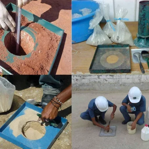
Hampton sits barely 10 feet above sea level on average, and when you cut more than 8 feet into these coastal plain sediments, the water table shows up fast. Our team has monitored dozens of excavations within a half-mile of the Hampton Roads waterfront where tidal fluctuation alone can swing pore pressure readings by 15% in a single cycle. The challenge here is not just the sand and soft clay sequence, but the proximity of century-old infrastructure—brick storm drains from the 1920s, shallow utilities, and neighboring structures on spread footings that were never designed for adjacent deep excavation. We deploy vibrating wire piezometers, inclinometers, and automated total stations to track movement before it becomes a problem. For projects where the cut extends below the water table, combining monitoring with a deep excavation support plan gives the contractor clear thresholds for when to adjust dewatering or shoring pressure.
Real-time displacement data in Hampton's high-water-table soils is the difference between adjusting a dewatering pump early and losing a shoring wall to a blowout.