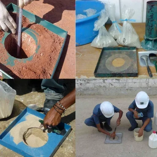
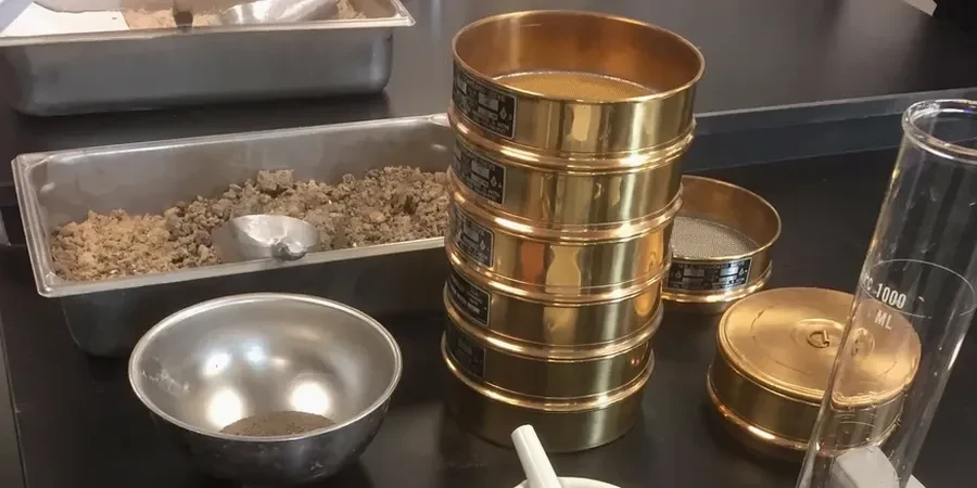
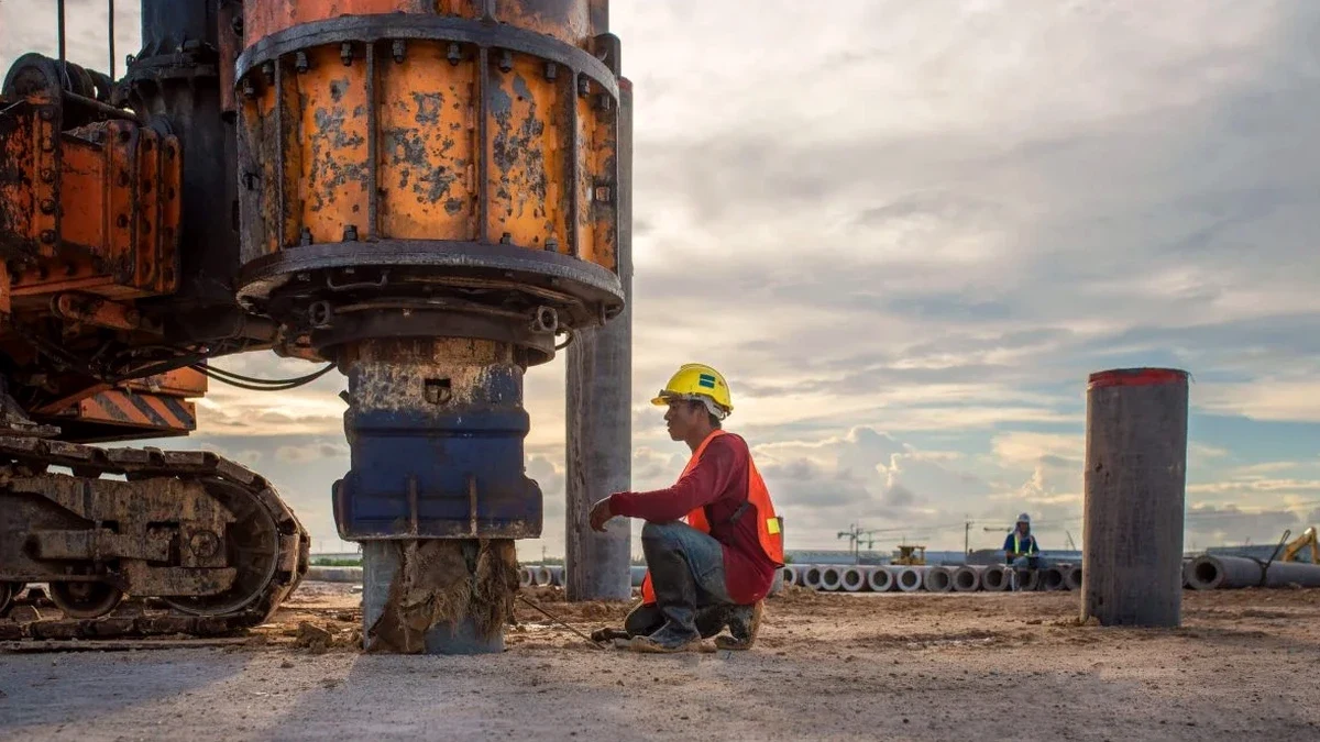
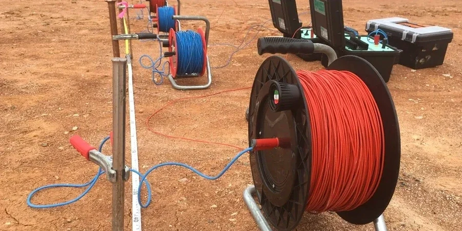
Hampton sits barely 10 feet above sea level, surrounded by the Chesapeake Bay and tidal rivers that shape its subsurface in ways you can’t see from the surface. When a new development breaks ground near Coliseum Central or an infrastructure upgrade runs through Phoebus, knowing what lies beneath the fill and marine clay is what keeps schedules intact. Our electrical resistivity surveys and VES (Vertical Electrical Sounding) give project owners and geotechnical engineers a continuous profile of subsurface resistivity without the blind spots of isolated borings. The method works by injecting current into the ground and measuring how the formation resists it—clay, saltwater intrusion, sand lenses, and bedrock each leave a distinct electrical signature. For Hampton’s coastal plain geology, where CPT testing hits refusal in dense sands and SPT drilling alone may miss thin water-bearing layers, resistivity fills the gaps with a broader geophysical picture. We run these surveys on commercial lots, roadway alignments, and utility corridors where understanding lateral continuity matters as much as depth.
Resistivity doesn’t just find what’s down there—it tells you how one layer connects to the next across a site, which is what boring logs alone can’t do.